Why is Europe's groundwater drying up? New satellite data reveals more
A new satellite study from the Graz University of Technology has corroborated data from 2020 revealing that Europe's groundwater supplies are on the verge of drying up.
Under the radar
A new satellite study from the Graz University of Technology has corroborated data from 2020 revealing that Europe's groundwater supplies are on the verge of drying up.
The original 2020 study, Quantifying the Central European Droughts in 2018 and 2019 With GRACE Follow‐On, published in Geophysical Research Letters, reported that there was a striking water shortage in Central Europe during the summer months of 2018 and 2019.
In the time between the 2020 study and the latest one from the Graz University of Technology, there has been no significant rise in groundwater levels.
Data analyses was carried out by Dr Torsten Mayer-Gürr and Dr Andreas Kvas from the Institute of Geodesy at the Graz University of Technology.
As part of the EU's Global Gravity-based Groundwater Product (G3P) project, they used satellite gravimetry to observe the world's groundwater resources and documented their changes.
Tom & Jerry
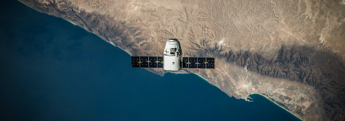
G3P uses twin satellites, nicknamed named Tom and Jerry, which orbit the Earth in a polar orbit at an altitude of just under 490 kilometres.
Separated by a distance of 200 kilometres, the satellites must not catch up with each other - hence the nickname. The distance between the satellites is constantly measured.
For example, if they fly over a mountain, the satellite in front will initially be faster than the one behind due to the increased mass underneath.
I would never have imagined that water would be a problem here in Europe, especially in Germany or Austria.
After it has passed the mountain, it slows down slightly again, but the satellite behind it accelerates as soon as it reaches the mountain. Once both are over the mountain, their relative speed is established once more.
These changes in the distance over large masses are the main measurement variables for determining the Earth's gravitational field and are ascertained with micrometre precision.
Stay with us, the groundwater link comes in a minute.
The satellites travel at a speed of around 30,000 km/h, completing 15 Earth orbits a day, which means that they achieve complete coverage of the Earth's surface in just one month.
As a result, the Graz University of Technology is generating a gravity map of the Earth every month.
Gaming changing gravity maps
While gravity maps show changes in mass, they offer no distinction between sea, lakes or groundwater. This is where G3P comes into play.
Torsten Mayer-Gürr and his team provide the total mass, from which the mass changes in the rivers and lakes are then subtracted, the soil moisture, snow and ice are also subtracted and finally, only the groundwater remains.
A few years ago, I would never have imagined that water would be a problem here in Europe, especially in Germany or Austria.
From these gravity maps data from the Graz University of Technology supported the claim that Europe's groundwater is running out.
"A few years ago, I would never have imagined that water would be a problem here in Europe, especially in Germany or Austria. We are actually getting problems with the water supply here - we have to think about this,” said Dr Mayer-Gürr.
Satellites are playing an increasingly vital role in monitoring groundwater supplies. Last year, the National Aeronautics and Space Administration (NASA) developed a method to monitor underground water loss that is showing promise following tests at California’s Tulare Basin.
The team studying the Tulare Basin, part of the Central Valley, found that the key to distinguishing between different underground sources of water relates to patterns of sinking and rising ground levels in this heavily irrigated agricultural region.